Direction signs for road information
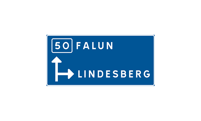
F1 Direction sign
The sign provides information about an upcoming intersection, roundabout, or similar feature. It is typically placed about 500 meters before the intersection and shows which roads lead to different destinations. It can also indicate information about two intersections if needed.
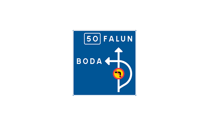
F2 Direction sign at prohibited turn at junction
The sign indicates that turning is prohibited at the next intersection and shows an alternative route to follow if one wishes to reach the destination that the road leads to.
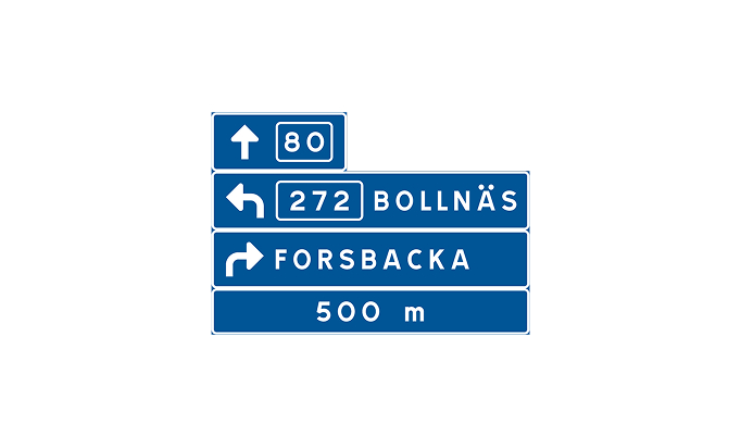
F3 Tabular direction sign
This sign shows an intersection, roundabout, or similar feature, along with distance indications and directions for all destinations at the intersection. It is placed just before the intersection and helps in choosing the correct road.
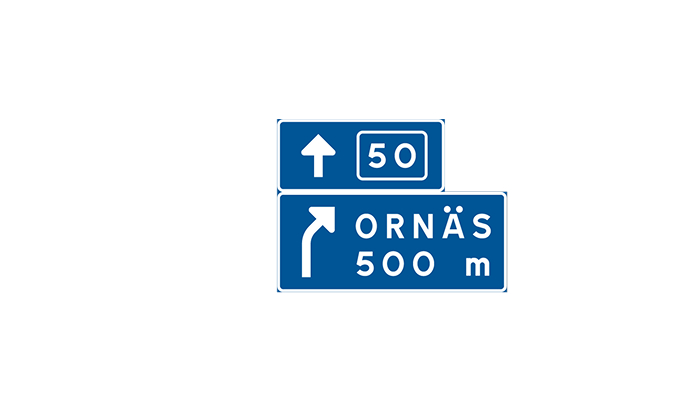
F4 Direction sign at exit
The sign provides information about an upcoming exit and indicates the distance to the exit based on local conditions.

F5 Direction sign
The direction sign is placed at intersections to assist in finding the correct road. If distances are indicated, they are shown in whole kilometers. The sign may also include information about the destination or the nature of the road.
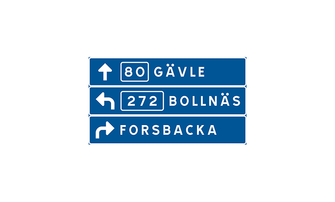
F6 Tabular direction sign
This sign functions as a direction sign and is placed near intersections, roundabouts, or exits from roundabouts. If used in specific areas such as hospitals or industrial zones, these areas may be indicated at the top without direction indications.

F7 Exit sign with directions
This sign is placed where an exit begins, clearly indicating the location of the exit.
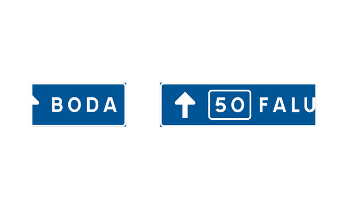
F8 Sign for lane directions
Lane direction signs show which lane is (most) suitable for reaching a specific destination. If the sign is used as preparatory information for an exit, the distance to the exit is indicated on an additional sign.

F9 Direction sign for collective directions
Within brackets, the sign shows destinations that can be reached via the same route, and below the bracket's point, the common route is indicated. Follow the destination under the bracket to reach the listed destinations. The distance to the relevant exit or intersection may be indicated on an additional sign.

F10 Place name sign
The sign indicates a location or place of significance for orientation. Municipal, city, or county coats of arms may be included. These signs are often placed at the start of a built-up area but do not impose any specific traffic rules.

F11 Street name
This sign displays the name of the street you are on. The color of the sign must adhere to standard colors.

F12 Watercourse
The sign indicates the names of rivers, streams, creeks, and similar water courses. It does not impose any specific traffic rules.

F13 Direction sign with distance
The sign indicates the distance to destinations in kilometers. Road numbers or names may be included on the sign, often with the road number placed at the top.
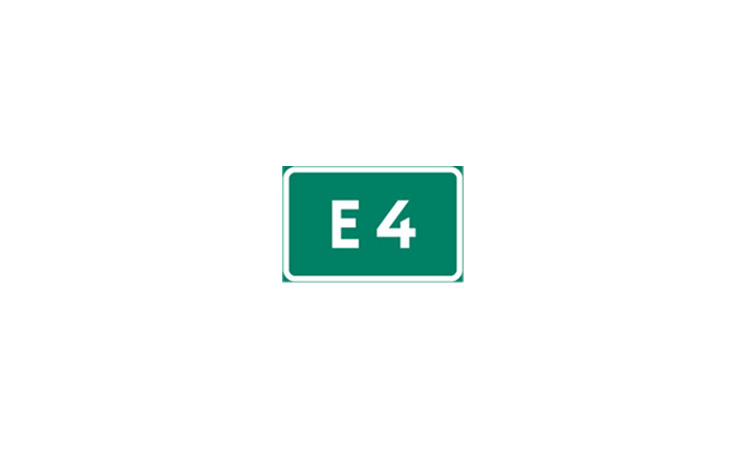
F14 Road number
The road number sign is used only for roads in the group 1–499. A dashed border indicates that the road leads to the specified road.

F15 Detour
The sign shows a permanent detour route for a numbered road, for example, in case of accidents or closures.
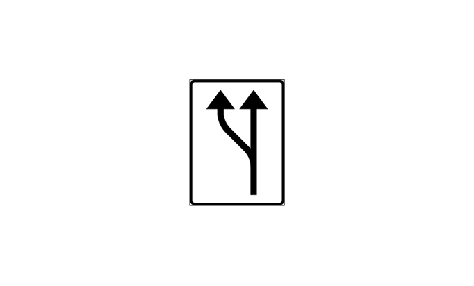
F16 Increase in number of lanes
This sign indicates that the number of lanes increases. It is adjusted based on local conditions and may include symbols for vehicle types or road numbers.
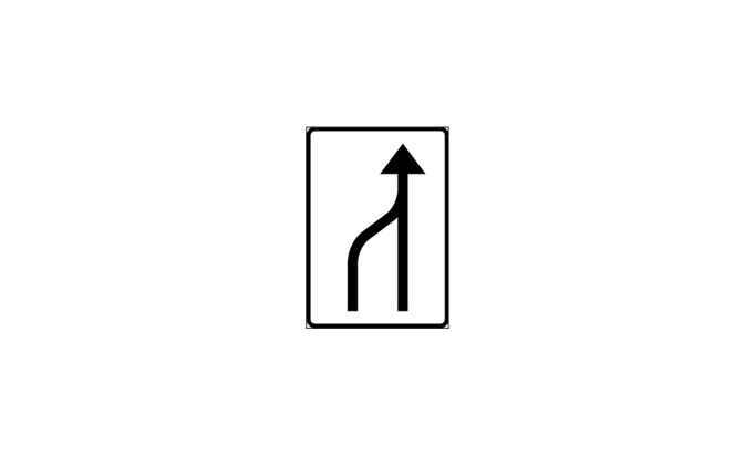
F17 Decrease in number of lanes
The sign shows that the number of lanes decreases. Drivers must adapt to the new conditions and use the zipper merge principle to merge smoothly.
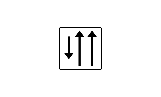
F18 Lane arrangement on road section
This sign indicates which direction applies to each lane. It can also be used as preparatory information if lanes begin further ahead. The distance to where the section begins may be indicated on an additional sign.
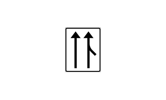
F19 Road connection with acceleration lane
The sign indicates that there is an acceleration lane at a road connection. For temporary traffic arrangements, the sign may have an orange background.
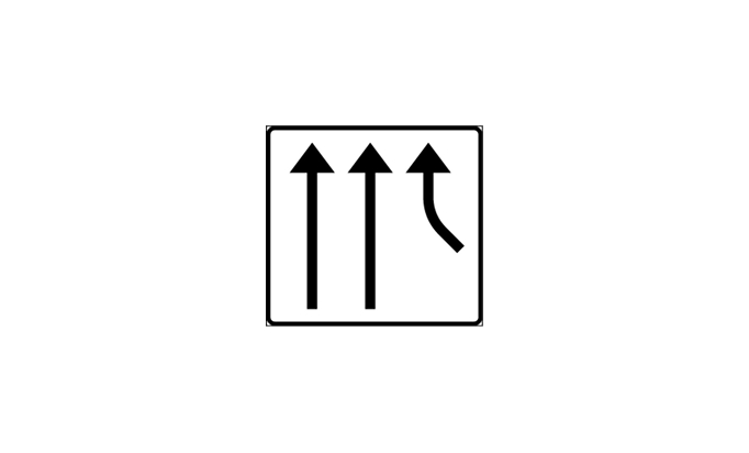
F20 Road connection into separate lane
The sign informs about a road connection with a separate lane. It is adapted to local conditions and may have an orange background during temporary traffic diversions.
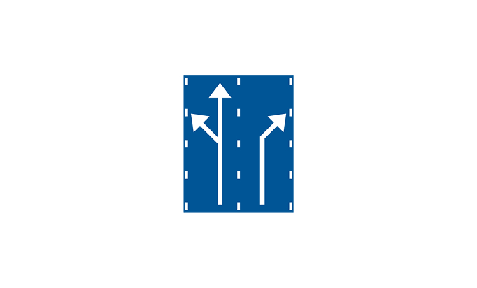
F21 Lane arrangement before junction
This sign shows the most suitable lane for reaching your destination.

F22 Country border sign
This sign indicates the border with another EU country. The color of the sign must not deviate from the standard.

F23 Sign for detour route
This sign provides information about a temporary detour route when the regular road is temporarily closed.

F24 Direction during detour
This sign indicates the direction for a temporary detour of traffic.
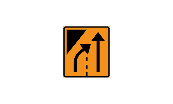
F25 End of lane
The sign indicates that a lane is temporarily closed but another lane in the same direction is available.
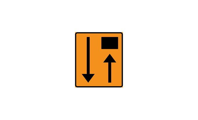
F26 Lane closed
The sign indicates that a lane is temporarily closed, and no other lanes in the same direction can be used.
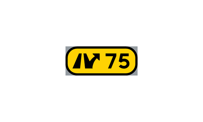
F27 Interchange number
This sign indicates the number of an interchange and may be complemented by the designation of the exit.
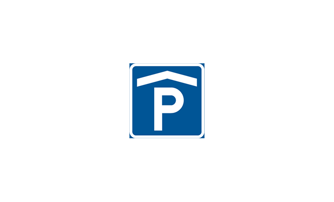
F28 Parking garage
This sign, which indicates a parking garage, may also show whether spaces are available or full. The name of the parking garage may be included on the sign.
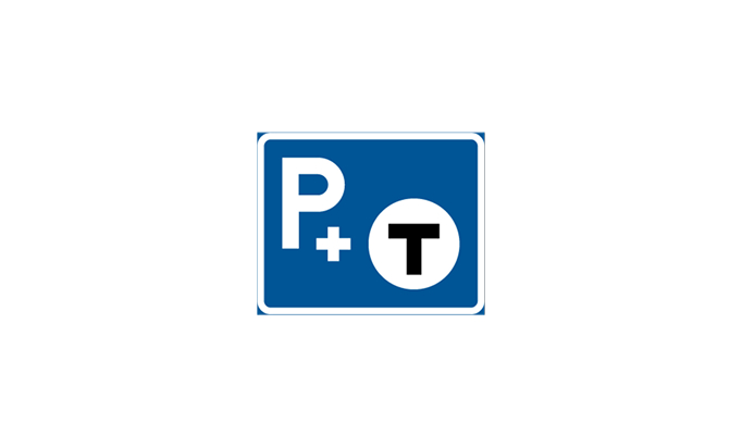
F29 Park and ride facility
The sign indicates a parking area connected to public transport. The symbol on the sign shows the type of public transport available.

F30 Local loop
This sign indicates a ring road or similar route around a city or center.
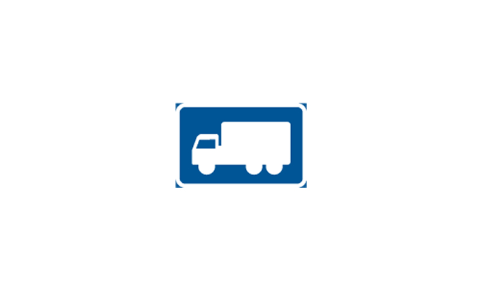
F31 Suitable road or bypass for certain vehicle types or road users
This sign indicates the most suitable road for specific vehicles or road user groups, marked with a relevant symbol.
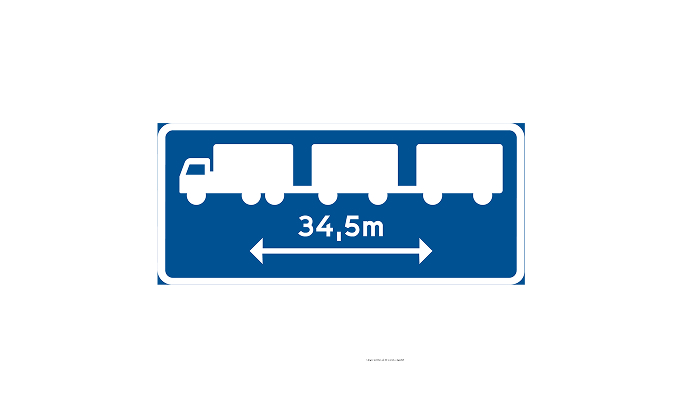
F31a Route for long vehicle combinations
This sign indicates the suitable route for long vehicle combinations.

F32 Hazardous goods
The sign indicates the recommended route for the transport of hazardous goods requiring orange marking under specific regulations.

F33 Emergency location
This sign marks emergency locations, for example, near roadworks.